wikitrip
I've always enjoyed keeping an eye out for roadside historic site markers on road trips. The stories of nearby events can make even the most bleak landscapes interesting. I made a tool that expands on this idea of roadside markers. It takes wikipedia articles near to your location, and presents them like a travel guide.
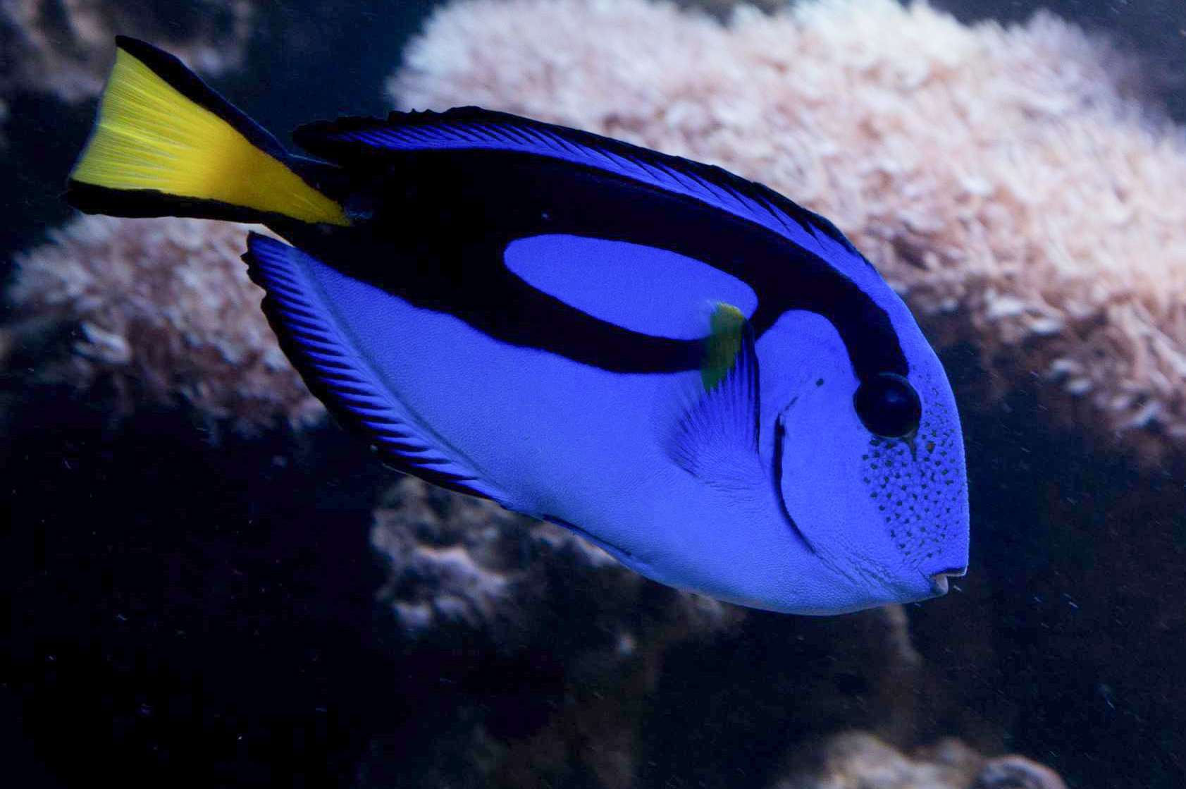
reef to aquarium
The blue tang is one of the most popular fish in the marine aquarium trade. However, it cannot be easily bred in captivity. This creates a global supply chain that connects fishermen in small islands with hobby aquarists on the other side of the world.
Alongside four additional team members I worked in Indonesia, the Philippines, and Colorado to trace the path of this supply chain. I also developed the technology for the project, creating a web experience to tell a map-driven multimedia story, capturing underwater virtual reality video, and drone support.
This project was recognized as one of Mapbox's featured community maps of 2018
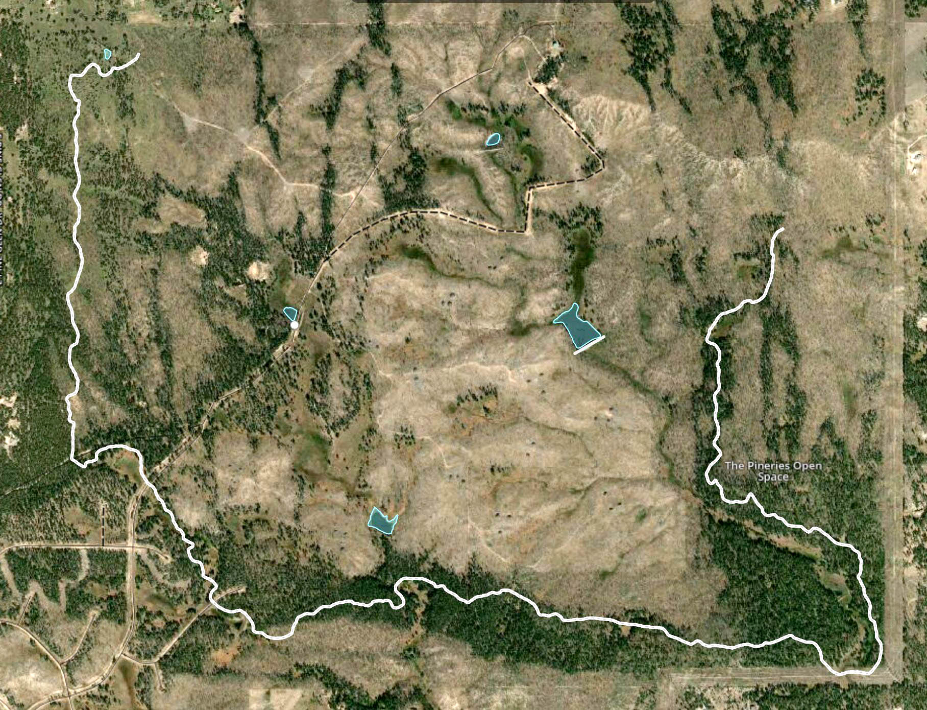
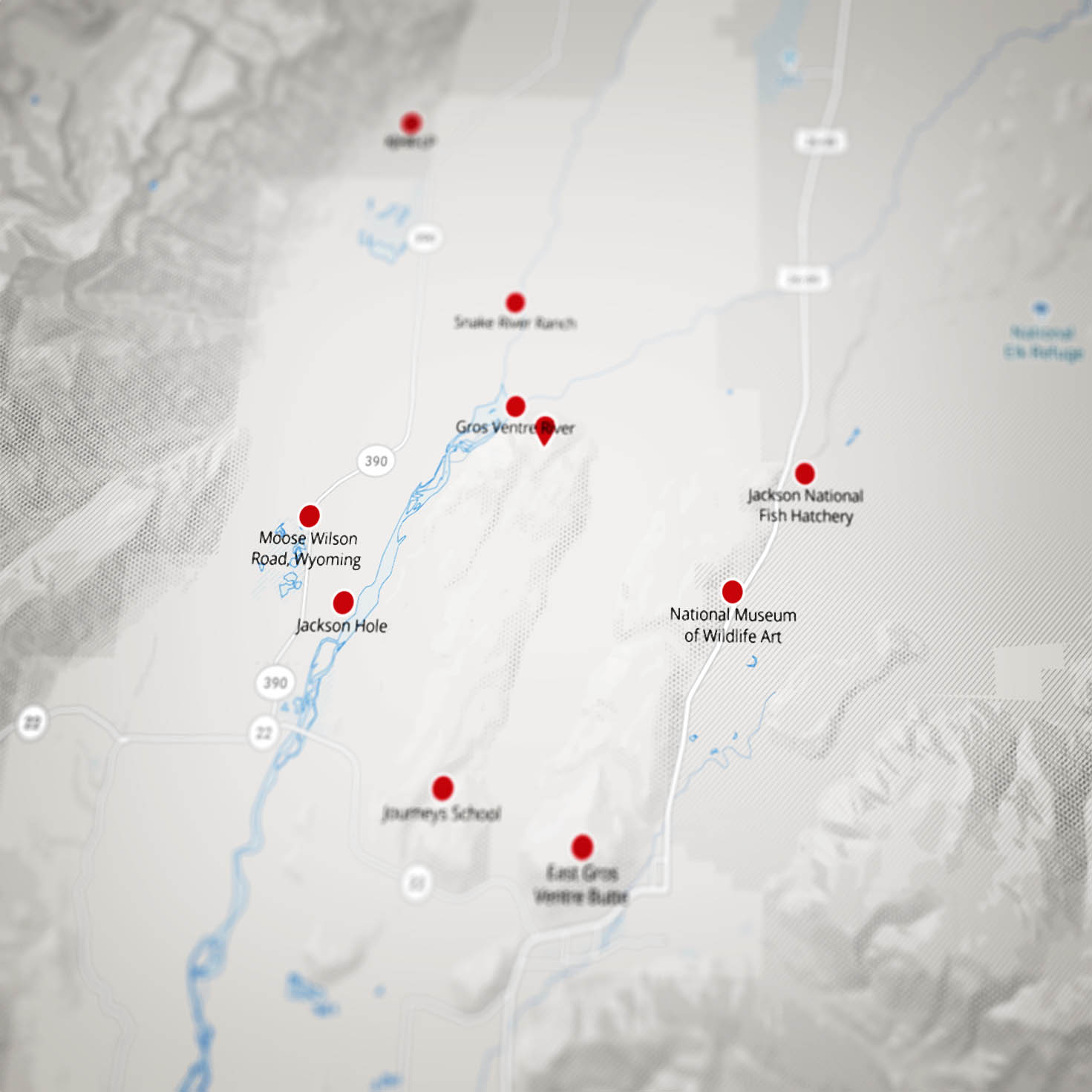
openstreetmap
A trail is being created in an open space near my home. Because the area was private land for so long and the park is not yet open, maps of the area are sparsely populated. In this project, I mapped the trail and ponds and added the data to OpenStreetMap.
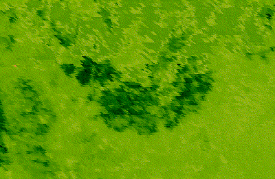
mapping tree loss from space
In 2013, my family's home burned down in the Black Forest Fire. It also burned part of the open space I mapped in Project #2. In this project, I created a map of where the fire burned based on remotely sensed forest cover data.
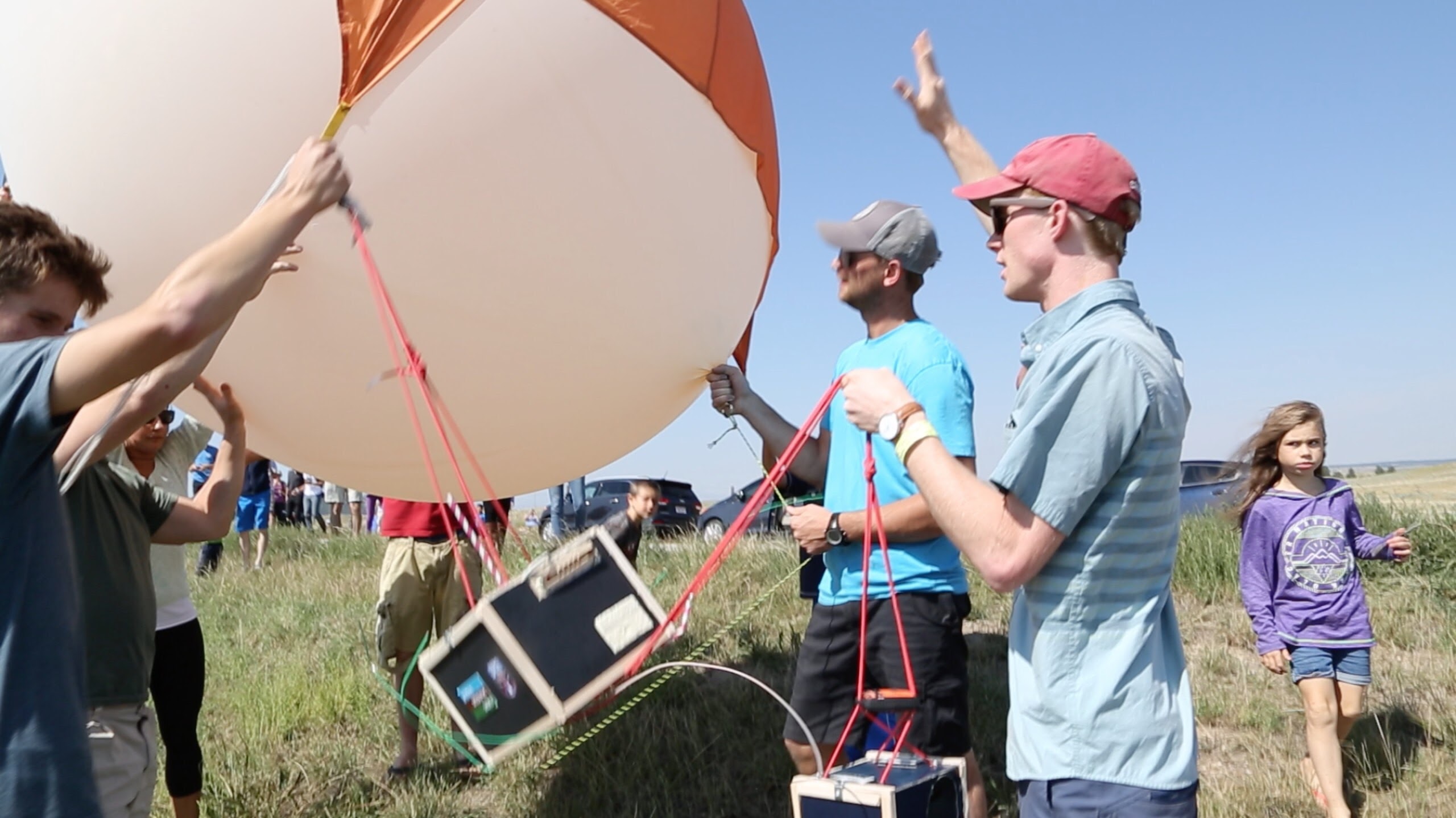
high altitude balloons
A work-in-progress map of my stratospheric balloon launches.