methods
As you might expect, OpenStreetMap makes the onboarding process easy. Simply create an account, and go through an informative tutorial. Most map editing is visual, done through the "iD Editor."
To map the trail, I first imported a GPS track from a run along the trail to use as a reference. Because of GPS inaccuracies, it is recommended to visually trace the path of the trail as it appears on satellite imagery.
Spotting the trail in the satellite imagery was challenging because most of the images were taken before the trail was constructed. I was able to use a combination of Bing maps imagery, and imagery from the National Agricultural Imagery Program (NAIP). Here you can see the trail on the Bing imagery (L) and on the NAIP imagery (R).
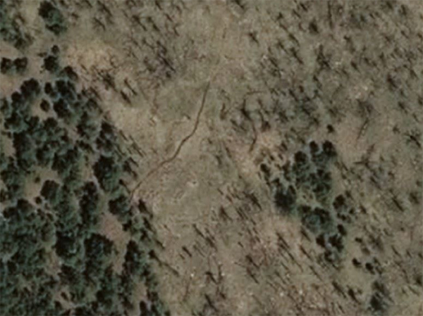
Bing Maps imagery.
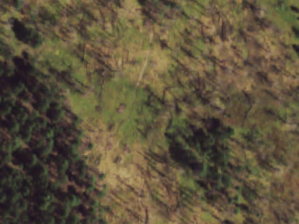
NAIP imagery.
I also added ponds and dams present in the woods as well. These were easier to find and trace than the trail.
results
Here are the trail, ponds, and earthen dams in the woods that I added to the map. You can view the data on OpenStreetMap as well.
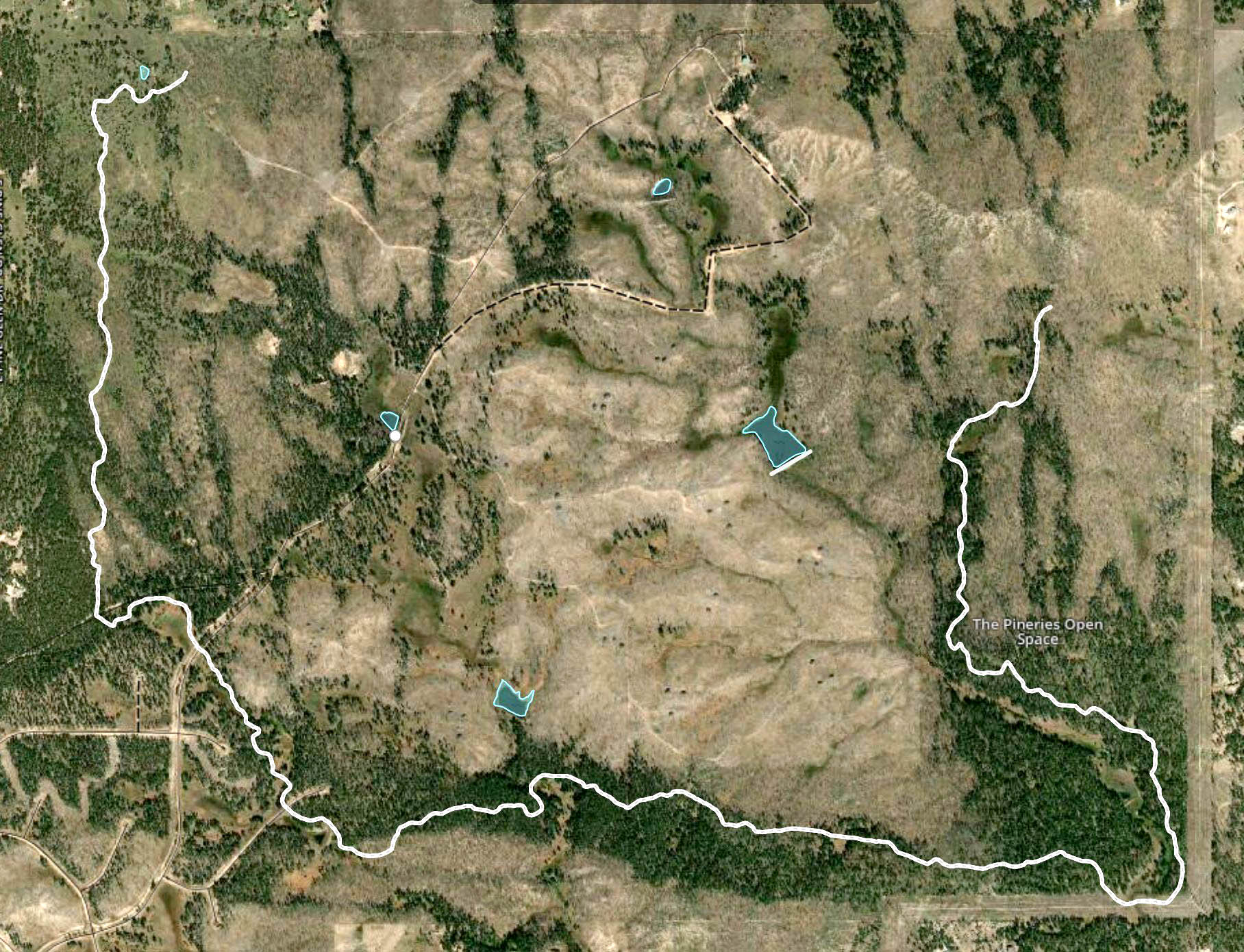
My edits to OpenStreetMap.
conclusion
This was a simpler project, but it's a good feeling to add to a public record like OpenStreetMap or Wikipedia. I'll be very interested to see how this data spreads.
what would i do next
- Monitor sites like Strava and Mapbox to see when they pull new data from OpenStreetMap.
- Update the path position as the more satellite imagery sources show the trail.
- A new trail is being constructed. Add that trail to the map after it is complete.